Immersive visualization has emerged as an ideal solution for three-dimensional exploration of remote sensing data collected using varied sensing devices. The ability to manipulate data interactively in true 3D with interfaces designed specifically for the immersive environment can significantly speed up the exploration process.
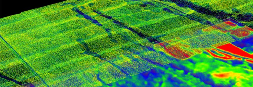
We have developed an immersive visualization platform that allows the fusion of remote sensing data acquired from two different modalities. The platform allows users to load hyperspectral imagery as well as LiDAR data acquired for the same geographical region.
The features of the new visualization platform include automatic registration of the hyperspectral imagery and LiDAR data, volume rendering of the hyperspectral image stack along with the LiDAR data, orthogonal views of the hyperspectral image stack to allow exploration of profiles in a certain region, map three user-defined hyperspectral levels to RGB values (as is the standard practice in remote sensing) as well as user interface capabilities to vary the elevation of the hyperspectral slice for correlation with the LiDAR data.
The immersive visualization platform is currently being used in research labs at Idaho State University and at the Idaho National Labs. For more information, please contact Nancy Glenn at (208) 373-1819 or bcal@isu.edu.
[notice title=”Related publication” color=”grey”]Gertman, V, P Olsoy, N Glenn, and A Joshi. 2012. “RSVP: Remote Sensing Visualization Platform for Data Fusion.” Paper presented at IEEE Virtual Reality 2012. March 4-8 2012. Orange County, CA.[/notice]