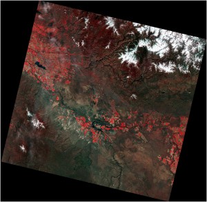
Data from NASA’s Landsat 8 is now freely available, enabling researchers and the general public to access images captured by the satellite within twelve hours of reception.
The data is available to download at no charge from GloVis, EarthExplorer, or via the LandsatLook Viewer.
Read more about Landsat 8 at www.usgs.gov.