Earthquake sources and ground motion predictions for urban centers
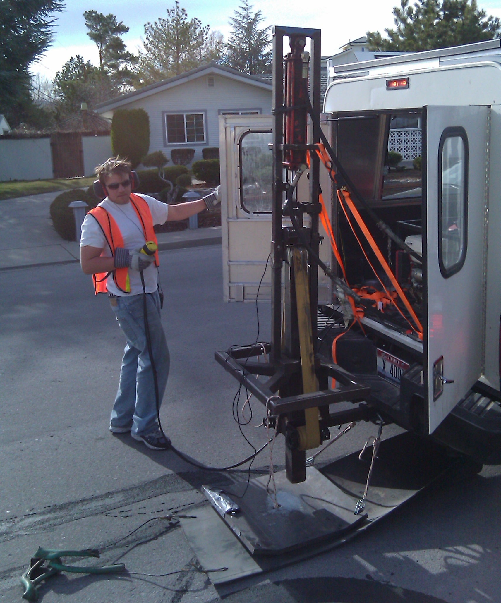
Earthquakes initiate along fault lines that accumulate strain from the differential motion of the earth’s crust. When these faults are located near or below population centers, the risks from earthquake ground shaking or ground rupture can be extreme. While we cannot predict when the next large earthquake will occur, we can examine the earthquake record to determine past fault motions. Characterizing the fault’s slip history, along with measuring ground motions from artificial or natural sources (traffic noise, small earthquakes, hammer hitting the ground), provide key information to generate probabilistic seismic hazard maps. Our Boise State geophysical team specializes in imaging beneath urban centers to assess earthquake hazards and risks, with a goal of building a more resistant infrastructure and a more resilient population.
Investigators
- Lee Liberty, Research Professor, Boise State
- James St. Clair, Post-doctoral researcher, Boise State
- Gabe Gribler, PhD geophysics student, Boise State
- William Schermerhorn, MS geophysics student, Boise State
- Jonathan Yelton, MS geophysics student, Boise State
Collaborations
- US Geological Survey, University of Washington
- Harvard University
- University of Nevada Reno
- Utah Geological Survey
- University of Utah
- Idaho Geological Survey