Learn How to Fly a Drone
Become an Unoccupied Aerial Systems (UAS) Researcher, Manager or Technician

During this program, participants will:
- Explore how drone technologies are used across industries and disciplines.
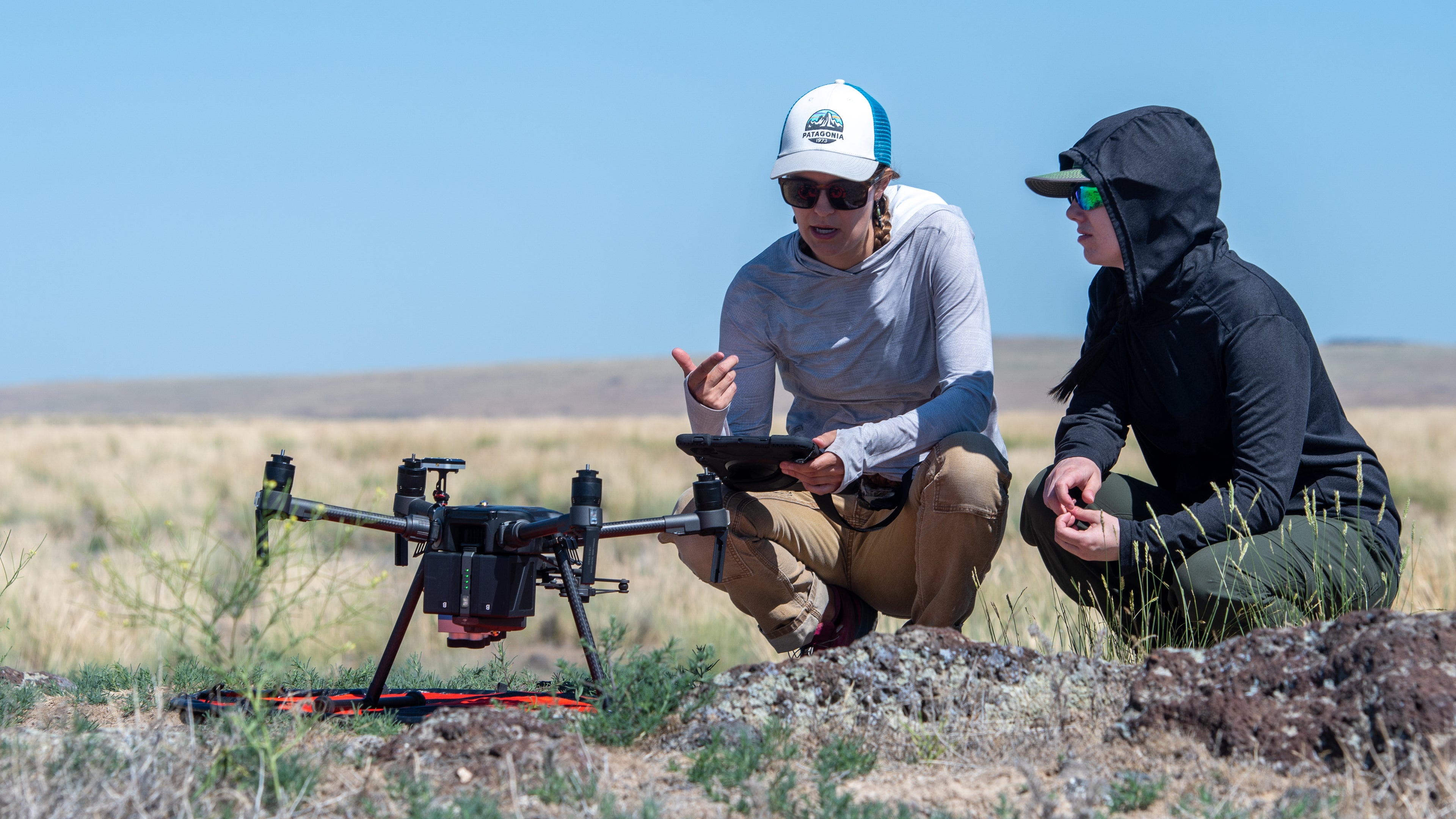
- Learn how to operate a drone confidently through flight skills labs.
- Plan and execute a drone-based project from start to finish.
- Demonstrate their knowledge through mission planning, piloting, geolocation, safety and regulations, data management, data products and analysis, and communication.
 Receive Training to Become a Licensed Drone Pilot
Program participants prepare to take the Federal Aviation Administration (FAA) test to receive their license as drone operators.
 Gain Exposure to Career Opportunities
Potential Industries and Disciplines Include:
- Social Good
Example: Search and Rescue - Construction
Example: Site Safety Inspection - Precision Agriculture
- Fire Management
- Wildlife Monitoring
- Plant Health Assessment
- Goods Delivery
 Select a Specialization to Deepen Your Knowledge
Options Include:
- Imagery and Visualization
- Geographic Information System (GIS) and Spatial Analysis
- Structure-from-Motion (SfM)
- Sagebrush Restoration
- Social-Ecological Resilience to Disturbance
