Almost half of Earth’s terrestrial surface, including most of the western U.S., is covered by drylands. These ecosystems are continuously changing due to fires, grazing and grass invasion, not to mention many other anthropocentric and climate-driven disturbances.
“We need ways to measure those changes so that we can take action,” explained Nayani Ilangakoon, a doctoral student in Boise State’s Department of Geosciences.
Ilangakoon is the lead graduate student of a research group that applies remote sensing technology to the environment to take those measurements.
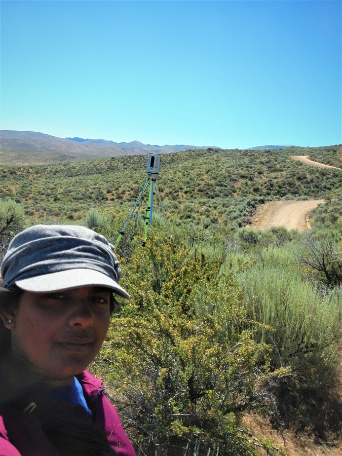
Currently, Ilangakoon and her team – Ahmad Hojjati, a doctoral student in the computing program and geosciences doctoral student Hamid Dashti – are monitoring dryland changes in the Reynolds Creek Experimental Watershed in southwest Idaho, as well as in Grand Mesa, Colorado. These projects are overseen by Nancy Glenn, a geosciences professor and the head of the Boise Center Aerospace Laboratory at Boise State, which documents Idaho’s changing landscapes and helps to enable land managers to make decisions about how best to preserve and restore the ecosystems there.
When Ilangakoon first started her doctoral program in the lab, it was using point data from a light detection and ranging system – otherwise known as lidar – on a NASA-funded terrestrial ecology project. Lidar measures the time it takes laser pulses shot from an airborne sensor to return to the sensor, which then generates a “squiggly line” of data for analysis. When Ilangakoon learned NASA would be collecting full waveform lidar data, she realized it could be the start of an even bigger project.
Ilangakoon proposed the project to NASA, knowing that NASA planned to expand the program to the International Space Station and, eventually, a dedicated satellite mission. When she was awarded a NASA Earth and Space Science Fellowship in 2017, it launched her project to use full-waveform lidar data for assessing the condition of vegetation in Idaho’s drylands.
When faced with issues scaling up from small test areas to much larger landscapes, the team reached out to Cathie Olschanowsky, a professor in the Department of Computer Science. She oversees a team in the Adapt Lab, which works to make applications run faster and with less memory overhead on high performance computing systems like Boise State’s own compute cluster, R2.
Olschanowsky organized undergraduate computer science students who rewrote the software used in the lidar analysis with a performance-oriented approach.
“What I really like is getting computer science students participating in domain science research so they aren’t siloed and they get that experience of having to understand someone else’s scientific language,” said Olschanowsky.
Currently, this collaborative work is done on R2, which provides the computational power necessary to effectively analyze the lidar data.
“Things that took me days [on my desktop computer] I could finish in half days or less” with R2, Ilangakoon said.
This collaborative research focusing on Idaho’s drylands may one day be used to assess the whole globe. Working together, the two labs are attempting to push the limits of processing Ilangakoon’s lidar datasets to 238 square kilometers, or 92 square miles, at a time. As it scales, their work has exciting future applications beyond the current project. In particular, a team at NASA’s Goddard Space Flight Center is interested in implementing the Adapt Lab’s optimization solutions for use with their own data.
NASA’s SnowEx project has taken an interest in the algorithms that Ilangakoon has developed for processing lidar data, and Ilangakoon also is working with code from a lidar platform on the International Space Station called the Global Ecosystem Dynamics Investigation to see how the platform will work when used for scanning landscapes outside of its intended scope, and to see if her algorithms can be applied to it.
The Adapt Lab team will be presenting their work at the eScience conference in San Diego in September. Readers can check out their conference paper when it’s published at the conference website. To learn more, go to the software Github page: https://github.com/BoiseState-AdaptLab/adapt-lidar-tools.
For more information on how the Research Computing team can assist with research needs, email researchcomputing@boisestate.edu.
– Story by Forrest Burt