For the arid climates of the Western United States, water remains a commodity more precious than gold. As the region’s climate, agriculture, energy-production and general well-being is shaped by water availability in the form of rain and mountain snowpack, information about how precipitation and the earth’s atmosphere interact with mountainous terrain has never been more important.
To advance scientific understanding of this field, associate professor of geosciences Lejo Flores is collaborating with Lawrence Berkeley National Lab on a program called the Surface Atmosphere Integrated Field Laboratory (SAIL), whose primary goal is to conduct a large-scale field campaign to improve atmospheric measurement near the land surface in mountain terrain.
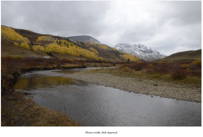
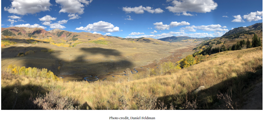
This campaign will take a close look at the physical processes of how the Rocky Mountains interact with the atmosphere to produce water resources for the 40 million people that rely on water from the Colorado River, according to research lead Dan Feldman of the Lawrence Berkeley National Laboratory.
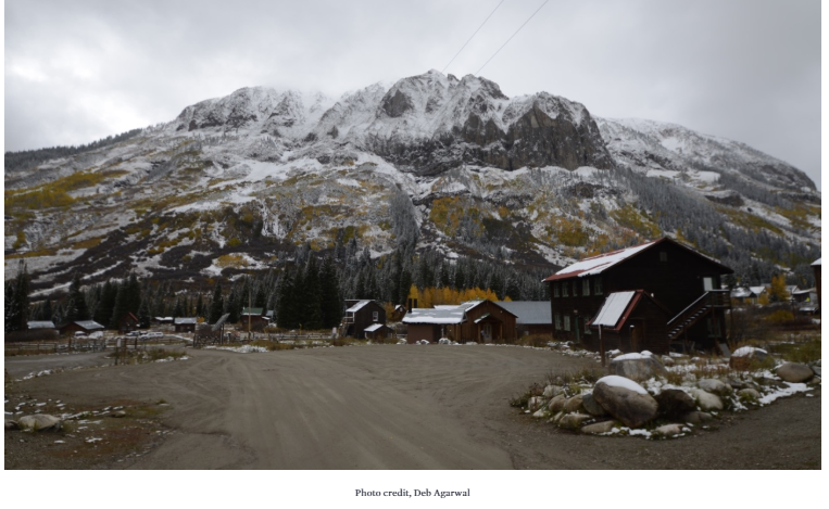
The campaign, which will start in September 2021 and extend through June 2023, is focused on measuring precipitation, aerosols, clouds, winds, radiation, temperature and humidity across a wide range of spatial and temporal scales at the East River watershed research site in Colorado.
“One of the major goals of the project that I am most interested in is how we can improve our knowledge and quantification of precipitation in mountain landscapes to be able to better predict water resources,” said Flores. “While the campaign is focused on a watershed in the upper Colorado River Basin, the knowledge we glean from the SAIL campaign will have direct benefits to weather and water forecasting in Idaho and other snow-dominated landscapes.”
The campaign is being supported by the Department of Energy’s Atmospheric Radiation Measurement program, working in close conjunction with ongoing research supported by the Subsurface Biogeochemical Research. According to Flores, the campaign will involve the deployment of more than 30 atmospheric measurement instruments. With these instruments, the team will be able to collect “unprecedented amounts and types of data to improve our understanding of how the land surface and atmosphere interact in mountains,” he said.
Flores is both assisting in planning the field campaign, as well as identifying relevant grant opportunities to turn the data that will be collected through SAIL into knowledge for water resource forecasting in mountains. As part of the proposal process, Boise State geophysics doctoral student William Rudisill provided data and visualizations of precipitation and wind patterns in the East River watershed that were important in helping convince reviewers of the project feasibility. Rudisill’s doctoral work is funded by a grant to Boise State from the Department of Energy’s Subsurface Biogeochemical Research program.