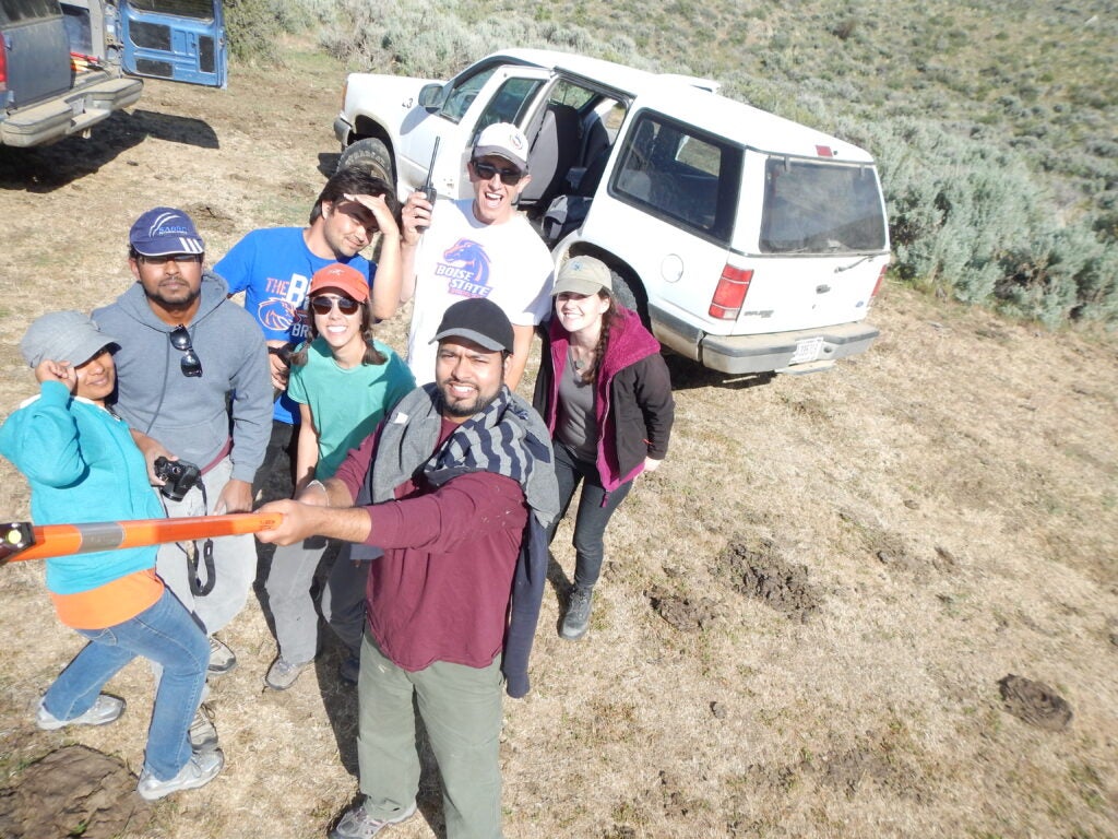
Our research focuses on image processing, interpretation of remote sensing imagery, integration of global positioning systems and geographic information systems into remote sensing, and understanding spatial, spectral, and temporal scales of landscape processes. BCAL’s interdisciplinary focus brings together science and technology in the earth and environmental sciences and engineering.
We have a number of research projects with colleagues at Boise State University, collaborating universities, and agencies such as NASA, DOE, US Forest Service, US Department of Agriculture, Bureau of Land Management, The Nature Conservancy, Mountain Home Air Force Base, and the Idaho Military Division.