Geographic Information Systems Software
Intro
The GIS courses use the ArcGIS software platform from Environmental Research Systems Institute (ESRI) https://www.esri.com/en-us/home . Specifically, ArcGIS Pro https://pro.arcgis.com/en/pro-app/ is used for classroom and lab instruction.
Environmental Research Systems Institute (ESRI)
Who is Esri?
Esri is the company behind the ArcGIS software, which is the world’s most powerful mapping and spacial analytics software. Esri was founded to help solve some of the world’s most difficult problems. Esri is committed to supporting the important work of its users with a commitment to science, sustainability, community, education, research, and positive change.
ArcGIS Pro
What is ArcGIS?
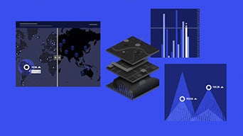
ArcGIS is a software built by Esri which combines mapping and data analytics to deliver location intelligence and digital transformation needs for organizations of all sizes. ArcGIS allows users to easily integrate their own data with our smart maps which helps the user to display their data in a visually effective and meaningful way.
This mapping technology has been used to predict flash floods, manage supply chains in real time, and cutting disease outbreaks off at the pass.