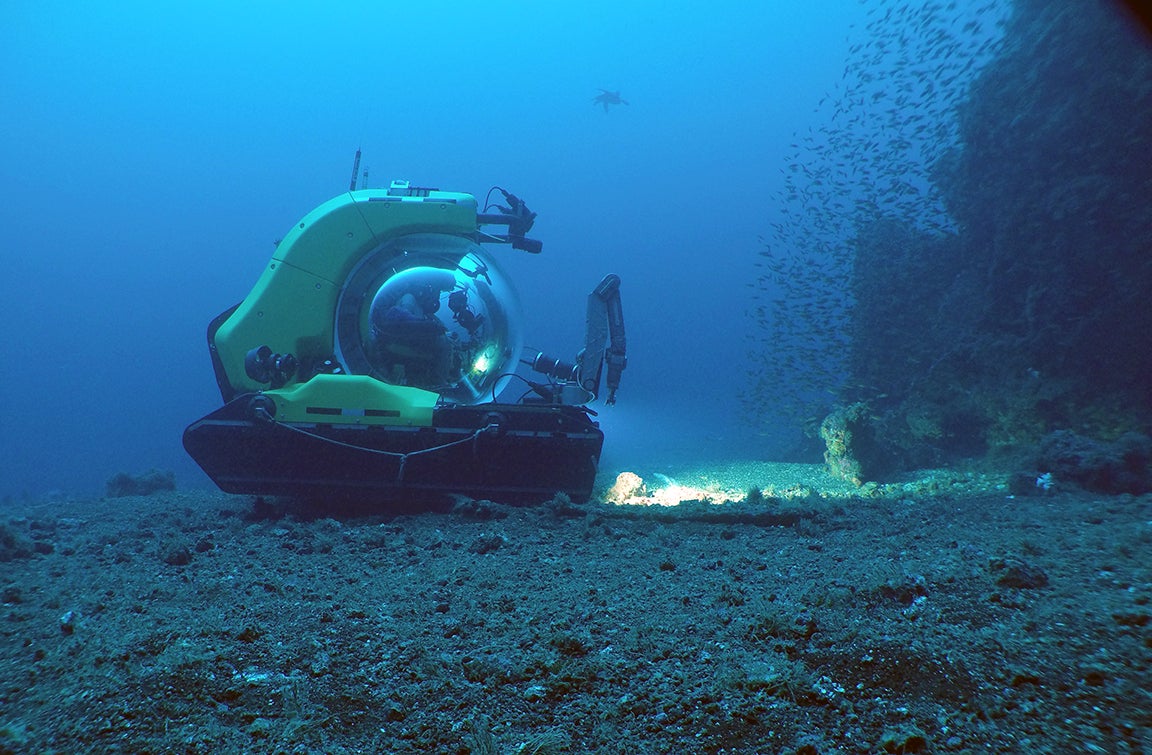
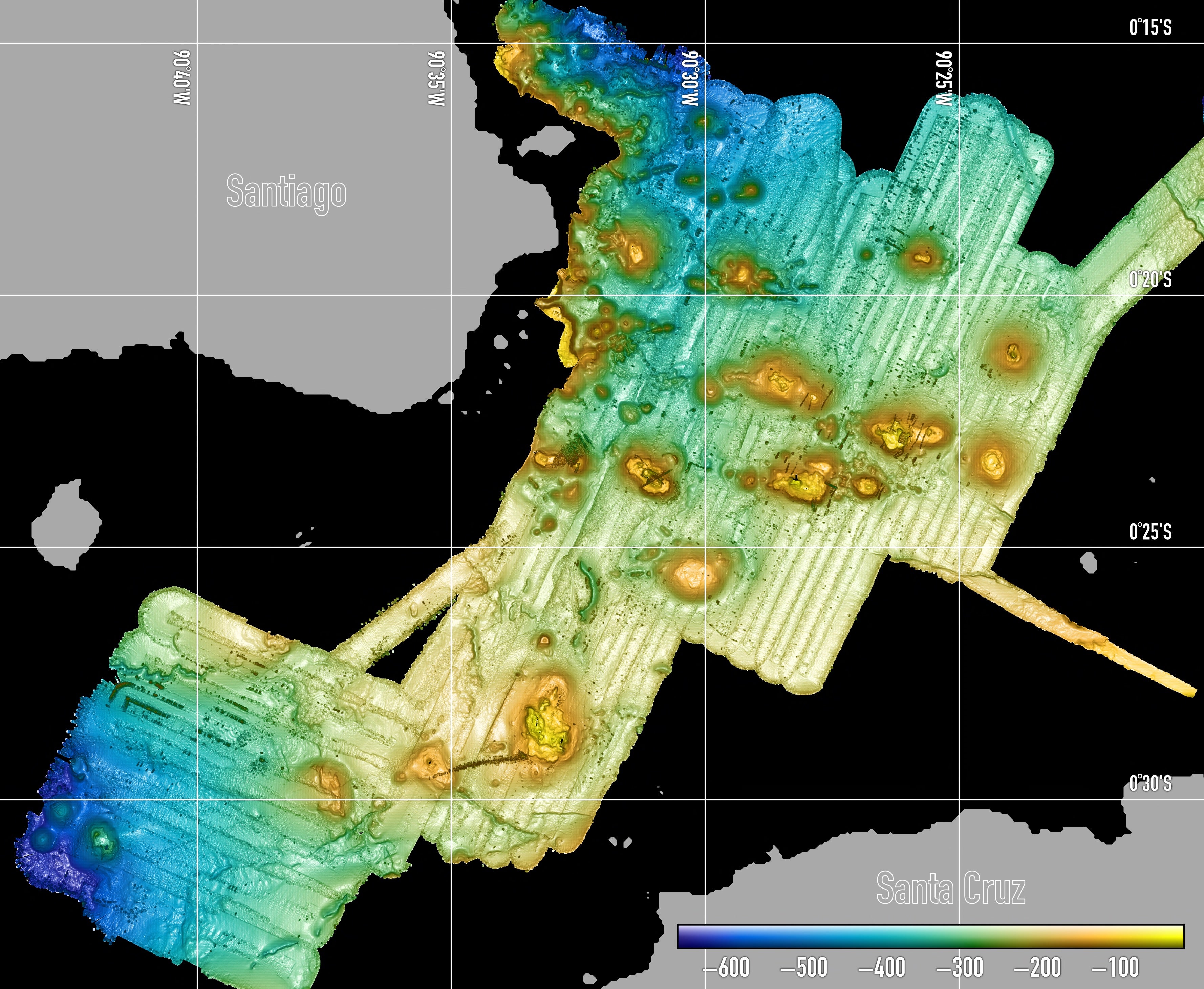
The Galápagos Archipelago consists of several large volcanic islands and an unknown number of small submarine seamounts that are built on top of a ~3 km thick pile of lava flows that form the Galápagos Platform. To investigate the submarine portion of the Galápagos Platform we undertook a 3 week research cruises on the M/V Alucia in the summer of 2015. The objectives of these expeditions were to identify and characterize volcanic seamounts surrounding several islands in the central and western Galápagos archipelago in order to understand the compositional diversity of lavas erupting around the emergent volcanoes, the biodiversity fostered by the seamounts, and the large scale processes responsible for construction of the Galápagos Platform.
During this expedition we identified and mapped >70 seamounts, many of which were previously unknown. Using the Deep Rover 2, we collected lavas from 22 previously unsampled cones. These cones are located in the central platform, between the islands of Santiago and Santa Cruz (N=11); the western platform, south of Fernandina Island (N =4); and the southern platform, west of Floreana Island (N=7).
Publications:
*Schwartz, D., Wanless, V.D., #Berg, R., Jones, M., Fornari, D., Soule, S.A., Lytle, M., and Carey, S., Petrogenesis of Alkalic Seamounts in the Galápagos Islands, Deep Sea Research II, in review (2017).