“Vegetation is the heart of the earth. Almost half of Earth’s terrestrial surface including most of the western US is covered by drylands. These ecosystems are continuously changing due to fires, grazing, grass invasion and many other anthropocentric and climate driven disturbances. We need ways to measure those changes so that we can take action,” says Nayani Ilangakoon, a doctoral student in the Department of Geosciences.
Nayani is part of a research group led by Nancy Glenn, a geosciences professor and the head of the Boise Center Aerospace Laboratory (BCAL), which does research applying remote sensing technology to the environment. BCAL’s research documents Idaho’s changing landscapes and helps to enable land managers to make decisions about how best to preserve and restore the ecosystems there.
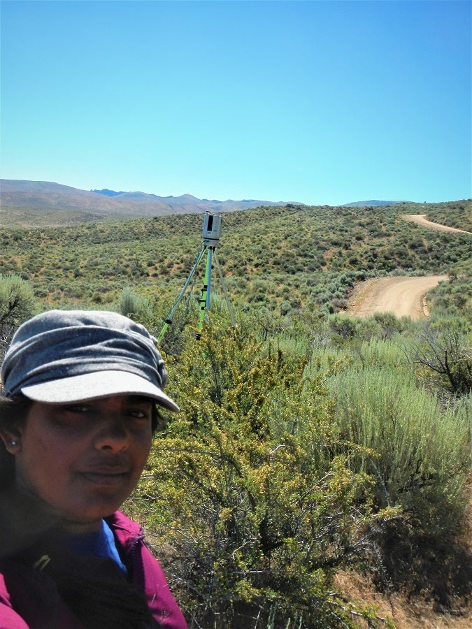
When Nayani first started her Ph.D. program in BCAL, the lab was using point data from a lidar (light detection and ranging) system on a NASA-funded terrestrial ecology project. When Nayani learned NASA would be collecting full waveform lidar data, she realized it could be the start of an even bigger project.
Nayani proposed the project to NASA, knowing that NASA planned to expand the program to the International Space Station and, eventually, a dedicated satellite mission. When Nayani was awarded a NASA Earth and Space Science Fellowship in 2017, the project to use full-waveform lidar data for assessing the condition of vegetation in Idaho’s drylands was launched. Lidar measures the time it takes laser pulses shot from an airborne sensor to return to the sensor, which then generates a “squiggly line” of data for analysis.
However, when the team ran into an issue as they tried to scale up from small test areas to much larger landscapes, they reached out to Cathie Olschanowsky, a professor in the Department of Computer Science, and the team she heads up in the Adapt Lab. The Adapt Lab’s research deals with making applications run faster and with less memory overhead on high performance computing systems like Boise State’s own compute cluster, R2.
Olschanowsky organized a team of undergraduate computer science students. The original student member of the team, Ravishankar, rewrote the software used in the lidar analysis with a performance-oriented approach. The team has changed over time and has included senior design students, first-year students, and a high school student, all interested in computational research. These computer science team members gain important experience collaborating with other domain scientists to produce an efficient and useful tool that solves research problems in both geosciences and computer science.
“What I really like is getting computer science students participating in domain science research so they aren’t siloed and they get that experience of having to understand someone else’s scientific language,” says Olschanowsky.
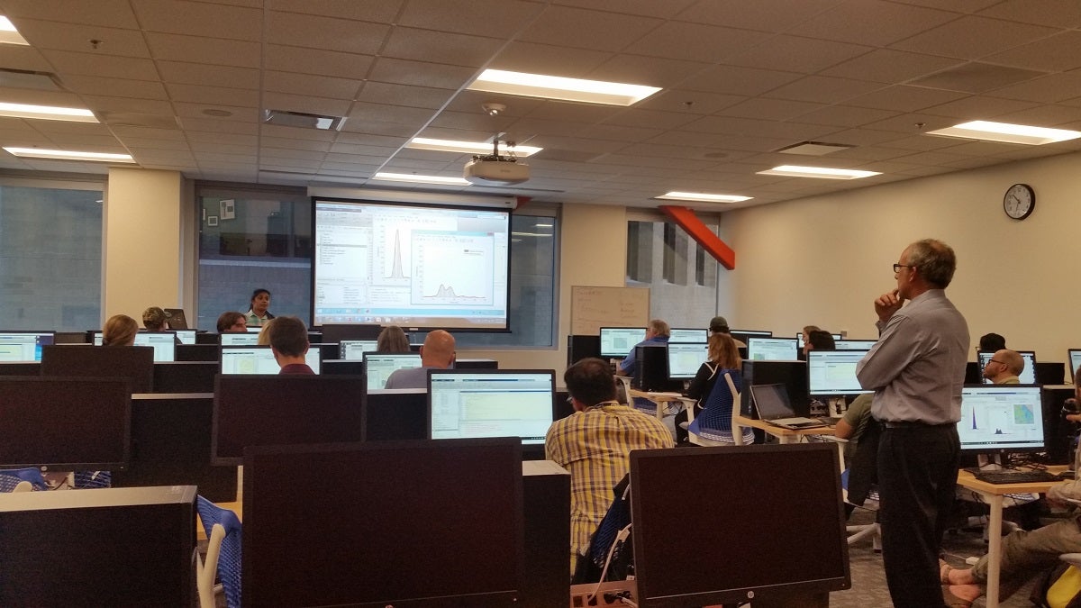
Currently, this collaborative work is done on R2, which provides the computational power necessary to effectively analyze the lidar data.
“My desktop computer had only 4 cores and one lidar file took days to process. Then I reached out to Research Computing team. They helped me to get access, to write bash scripts, transfer data and most importantly to use multiple nodes and many cores efficiently in R2. Things that took me days could finish in half days or less,” Nayani says.
Working together, the two labs may be able to push the limits of processing Nayani’s lidar datasets to 238 square kilometers (92 square miles) at a time. As it scales, their work has exciting future applications beyond the current project. In particular, a NASA team at NASA’s Goddard Space Flight Center is interested in implementing the optimization solutions the Adapt Lab is working on for use with their own data.
At the same time, NASA’s SnowEx project has taken an interest in the algorithms that Nayani has developed for processing lidar data and sees opportunity for their application to that project. Nayani is also working with code from a lidar platform on the International Space Station called the Global Ecosystem Dynamics Investigation (GEDI) in order to see how the platform will work when used for scanning landscapes outside of its intended scope, and to see if her algorithms can be applied to it.
As can be seen, this collaborative research focusing on Idaho’s drylands right now may one day help us assess the whole globe.
To learn more, go to the software Github page: Adapt Lidar Tools. The Adapt Lab team will be presenting their work at the eScience conference in September. You can check out their conference paper when it’s published at the conference website.
For more information on how the Research Computing team can assist with research needs, email researchcomputing@boisestate.edu.
– Story by Forrest Burt