Human encroachment into natural areas over the last 150 years has caused global biodiversity loss of a magnitude only seen five other times in our planet’s history. Land conversion in the tropics alone is responsible for the majority of species extinctions and approximately a quarter of global CO2 emissions. Once converted to other uses however, tropical forest lands cannot be restored within the timescales necessary to limit biodiversity loss or mitigate harmful CO2 emissions, making these conversions virtually permanent. Although billions of dollars are poured into tropical forest conservation each year, the rate of land conversion continues to accelerate, even outpacing the rate of human population growth.
This project was developed in collaboration with Community Forests Pemba — a subsidiary of Community Forests International, in order to develop a targeted conservation strategy for limiting agricultural land conversions in Pemba Tanzania. Pemba is a small island, just 14 miles across by 40 miles long, located in the Coastal Forests of Eastern Africa biodiversity hotspot. Pemba is currently experiencing rapid conversion of primary forested lands into rotational agriculture. This is problematic as over 90% of Pemban households rely on forest products to meet their daily cooking needs.
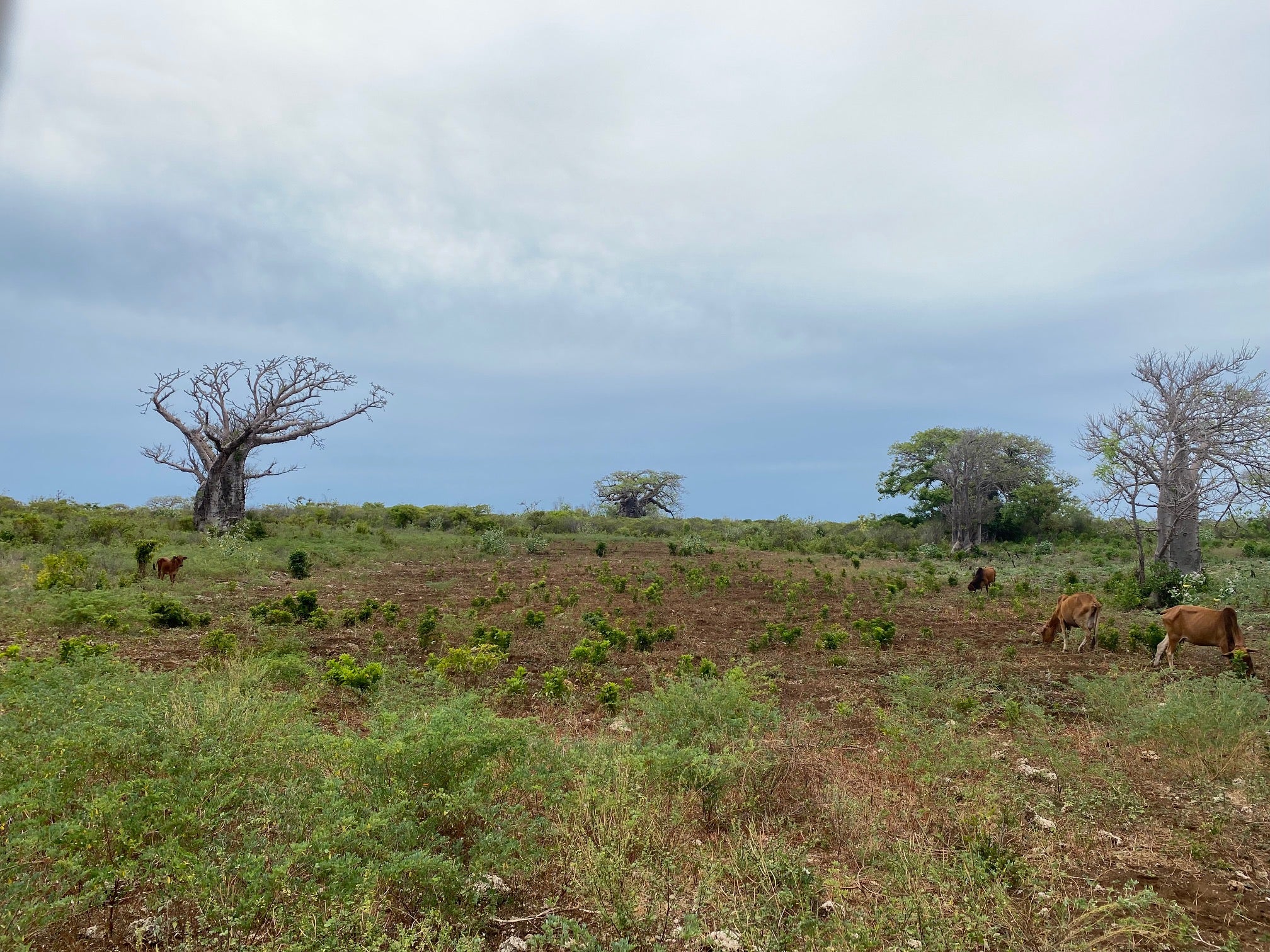
The goal of this project is to produce land cover trajectories for areas of native coral rag forest, given changes in cycles of rotational agriculture in adjacent lands. Coral rag is a primary forest type that exploits the extremely shallow soil which has formed on top of ancient coral rubble. Given this shallow and porous substrate, agricultural plots developed by clearing coral rag forests are characterized by short periods of productivity followed by long periods of soil recharge (i.e. fallow). To understand how these forests might look in the future, we first used satellite imagery to develop a pixel-based land cover map for the entire island. This map delineates where coral rag vegetation currently exists. We then conducted interviews with farmers operating smallholder agricultural plots adjacent to patches of coral rag forest to describe the number of years an agricultural plot is farmed/fallowed and why. Finally, we built an agent-based simulation to model the described farm/fallow dynamics on the pixel-based landscape over many years, where coral rag pixels are converted to agriculture as adjacent lands become unproductive. This simulation provides a tool to predict how even small changes in farm/fallow cycles, achieved through the dissemination of regenerative agricultural practices, may yield long-term protection for adjacent coral rag forest lands.
People
- Matt Clark – PhD candidate – Boise State University Human-Environment Systems
- Nick Kolarik – PhD candidate – Boise State University Human-Environment Systems
- Dr. Jeffrey Andrews – Max Planck Institute for Evolutionary Anthropology
- Dr. Vicken Hillis – Boise State University Human-Environment Systems
Project Collaborations
- Community Forests Pemba
- Zanzibar Department of Forests