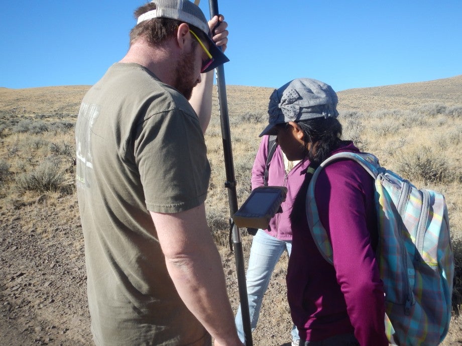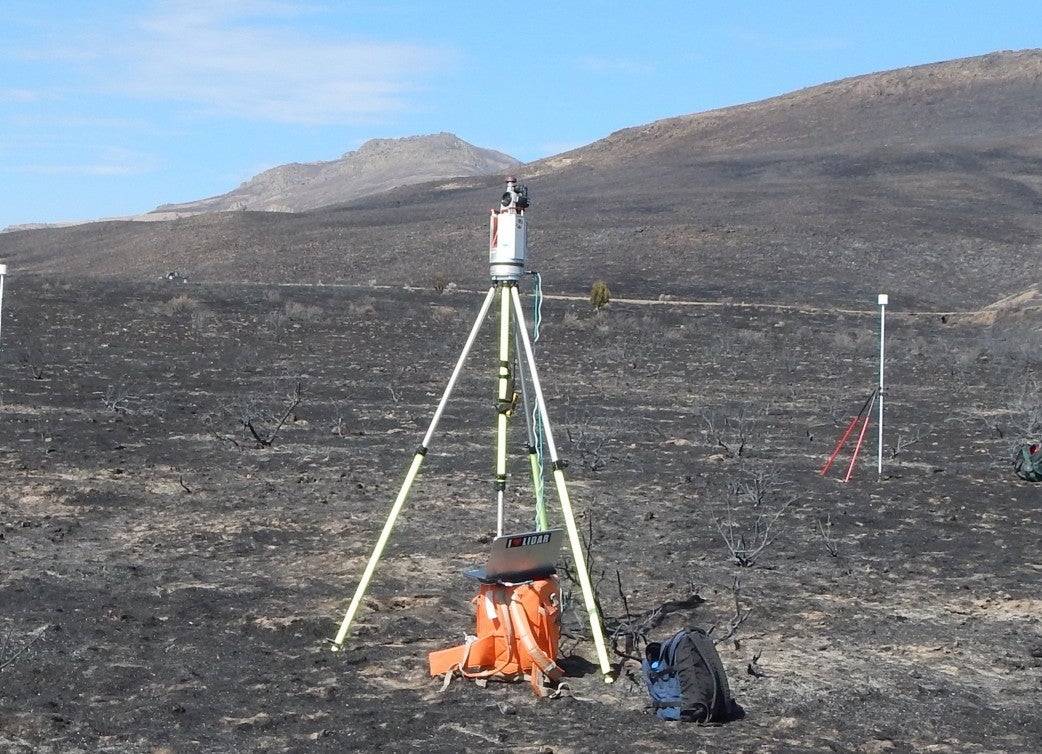
The lab includes state-of-the-art hardware and software, high definition video conferencing, RTK GPS, multispectral hand-held camera, field spectrometer, and terrestrial laser scanning (TLS) equipment. BCAL also houses an IQ-Station (also known as CAVE™) for immersive 3-D visualization. The lab has licenses for the following software:
- Remote sensing – ENVI/IDL, eCognition, Unscrambler, BCAL Lidar Tools, TerraSolid
- GIS – ESRI, Global Mapper
- GPS – Trimble Pathfinder, Magnet Topcon Tools
BCAL also develops our own lidar analysis software tools – BCAL Lidar Tools.