Abstract
Landowner decisions, like whether or not to participate in land conservation practices, affect the social and ecological systems in the High Divide. Using surveys and spatial analysis, we are trying to better understand factors that determine people’s attitudes and land management decisions, and to summarize and predict the spatial patterns of those decisions.
The Project
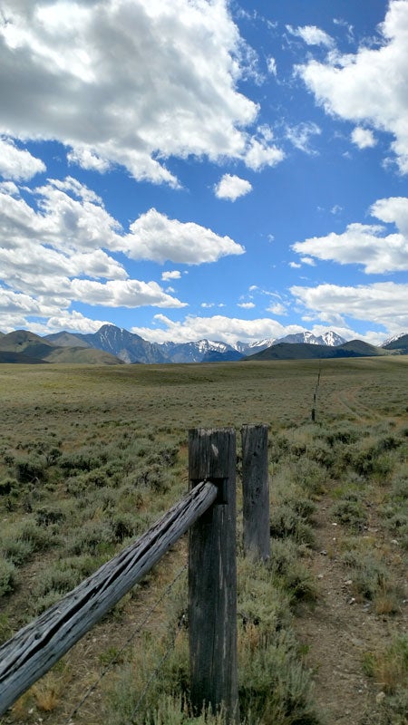
The High Divide, a mosaic of public and private lands straddling the Continental Divide in Idaho and Montana, provides a critical linkage between large intact ecosystems like the Greater Yellowstone Ecosystem, the Crown of the Continent, and the Salmon-Selway Wilderness.
While much of the High Divide is publicly owned, private land management can influence the permeability of the landscape, or whether animals can move from one habitat to another freely and easily. What occurs on private land, Management decisions and the effectiveness of conservation activities depends on the actions of private landowners and their interactions with public land. In the High Divide, over half of the land area is rangeland and livestock grazing is important to the local economy. Ranchers, who often own private land and also make decisions on public rangelands, are integral stakeholders whose attitudes and actions are not well understood in this region. By asking ranchers about their priorities, concerns, and practices, we will gain insight into landowners’ attitudes toward conservation practices and public land management, both positive and negative. This information will help us to understand the effects of conservation planning on the ranching community as well as how and why ranchers engage in conservation practices, like using certain kinds of fencing or monitoring vegetation, on their land.
Landowner decisions also drive spatial patterns of land use. In the High Divide, increased residential and commercial development has shifted land use on private land and decreases the connectivity of wildlife habitat. Conservation easements, which limit further development, are one land management tool used in the region. We are conducting analyses of the spatial and temporal patterns of private land conservation. By considering changes in socio-economic variables, we hope to understand whether and how factors related to the patterns of conservation easements have changed over time and to provide insight into broader scale drivers of conservation activity.
The Team
Rose Graves, Boise State University
Jodi Brandt, Boise State University
Viken Hillis, Boise State University
The Products
Graves, R. A., M. A. Williamson, R. T. Belote, and J. S. Brandt. 2019. Quantifying the contribution of conservation easements to large-landscape conservation. Biological Conservation 232:83-96.