Information about Extreme Summer Weather
Overview
What to Expect
Summer in the Treasure Valley is dry and hot. Daytime high temperatures average above 90 degrees Fahrenheit in July and August, while morning lows frequently dip into the 50s. In July and August, the warmest months of the year, streaks of triple digit heat can make it dangerous for anyone to remain outside for prolonged periods – especially in direct sunlight. The Treasure Valley region also has occasional thunderstorms which can bring lightning, and dangerous straight-line winds that can damage trees and cause power outages (source: NWS: Local Climate).
Worst-Case Scenario
The Treasure Valley region could experience more than a week of triple-digit heat, with afternoon thunderstorms generating dangerous lightning and damaging wind gusts, which could together increase wildfire risk. Summer heat is one of the leading causes of weather-related deaths and illnesses in the United States. Treasure Valley residents who remain outdoors for prolonged periods of time could suffer from dehydration, heat-related illness, or even heat stroke, which could require a hospital stay for recovery. In addition, thunderstorm lightning is incredibly dangerous; in the United States it kills 20 or more people – and injures hundreds more – each year. Athletic and outdoor music events leave many vulnerable to this natural hazard. Also common to the region, thunderstorm microbursts can generate wind gusts in excess of 60 mph; these “straight-line winds” can bring trees and large branches down onto buildings and powerlines, which can cause both substantial roof damage and power outages (source: NWS: Lightning Safety).
How to Prepare
- On hot summer days, avoid physical activity and remain indoors as much as possible during the warmest time of the day (i.e., 3-7 p.m.). If you must be outside, carry sufficient water for the amount of time you plan to be out, and have a cool place to retreat in case you begin to feel overheated.
- If you see lightning, hear thunder, or are aware that a thunderstorm is approaching, move inside a sturdy structure — ideally one grounded by a lightning rod — as quickly as possible. “When thunder roars, go indoors.”
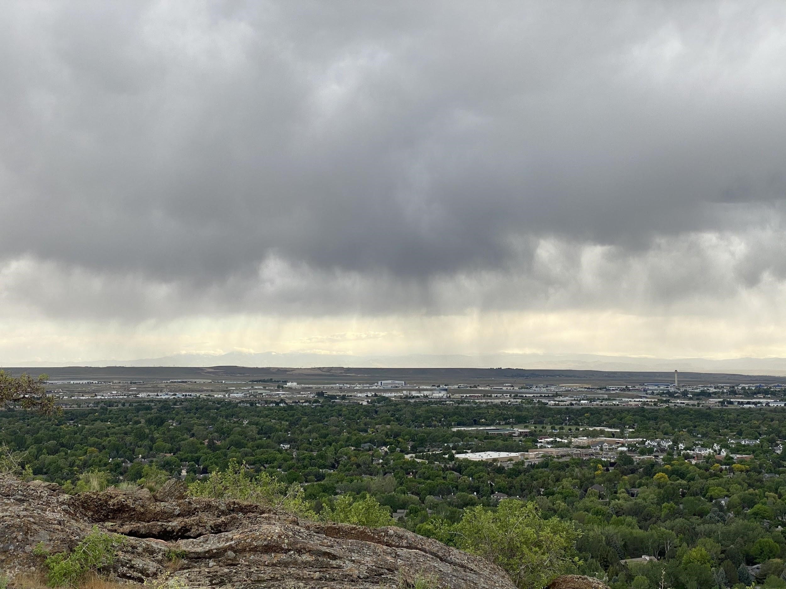
- Immediately move to the inside of a sturdy structure and away from windows if a severe thunderstorm warning is issued or if you witness virga beneath a nearby thunderstorm. Virga, or rain that evaporates before reaching the ground, can indicate an approaching microburst caused by downward acceleration of relatively cool (due to evaporation), dense air falling from the storm (source: NSSL: Damaging Winds).
- Maintain the trees on your property. Unhealthy, decaying vegetation is the first to come down during a windstorm, and it may cause damage to your home or result in power outages if it falls in the wrong place.
- Pay attention to forecasts, statements, watches, and warnings issued by the National Weather Service for pertinent information on any upcoming potential for each of these hazards. Follow the NWS on twitter for real-time information.
Local Resources
- Ada County: Heat and Thunderstorm Information
- National Weather Service: Current Weather
- National Weather Service: Summer Weather Safety Information
- Sign up for local alerts: ID State Alerts and Warning System
How is this hazard impacted by a changing climate?
- Average annual temperature will continue to increase, so summer heat waves will be hotter and last longer than they have in the past (source: CDC: Climate Change and Extreme Heat).
- While questions regarding the effects of climate change on severe thunderstorm frequency remain unanswered, there appears to be a consensus among researchers that increasing atmospheric temperatures will lead to a greater amount of potential energy available for thunderstorm development. Pinning down the specific way in which severe weather of the Treasure Valley region might change is difficult, but one can reasonably hypothesize that severe thunderstorms may occur with greater frequency. With more lightning, coupled with increased heat and drought leading to more widespread dry vegetation, chances for wildfire may also be on the increase.
Written by John Bumgardner, 2020 NOAA-NWS Intern