Information about Extreme Winter Weather
Overview
 What to Expect
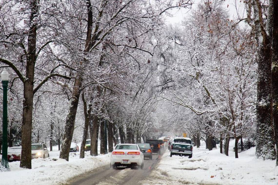
Winter in the Treasure Valley is often chilly with a mix of rain and some snowfall. Daytime temps from November through February range from low 40s to 50s with nighttime temps dipping below freezing. On average, the region has its first bit of snow starting in November, but most of the snowfall happens in December (avg.= 5.6in.), January (avg.= 7in.), and February (avg.= 4.3in). Inversions, when cold air gets trapped below a layer of warmer air, are somewhat common in the Valley and can make for a string of below-freezing days. Inversions also make air-quality poor as smoke and haze from fireplaces along with car exhaust get trapped under the inversion layer. (Sources: NWS: Local Climate & NWS: Seasonal Snowfall )
Worst-Case Scenario
A worst-case winter storm event in the Treasure Valley could involve high winds and thunderstorms along with snow and freezing temperatures. The high winds could topple trees and bring down power lines. Road closures and power outages would be likely across the county for many days and possibly weeks. Power outages and limited transportation, will make getting to school or work difficult. (Tetra Tech, 2017)
How to Prepare
- Make a household emergency plan and make sure to include pets.
- Stock up on supplies. If power goes out, it is good to have water, food, warm blankets, flashlights, and other items ready. These items are also handy to have in your car in case you get stranded.
- Avoid travel when roads are icy or snowy.
- Check on your neighbors. Some people may have difficulty getting around during bad weather. Check in to make sure they have everything they need to weather the storm.
Local Resources
- Sign up for the Idaho State Alert and Warning System
- Ada County: Winter Storm Information
- National Weather Service: Current Weather
- National Weather Service: Winter weather Safety information
- Current Air Quality and Information
How is this hazard impacted by a changing climate?
Winter precipitation is projected to increase, but more of it will fall as rain rather than snow. This will decrease snowpack and make the winter season shorter. Higher temperatures in spring will melt snowpack more quickly and increase the chance of flooding. (source: NOAA – ID Climate Summary & EPA: Climate Change ID)
Written by Carson MacPherson-Krutsky and edited by Jay Breidenbach from National Weather Service, Boise