BCAL provides students with skills and knowledge in science and technology for professional careers or continued study in earth and environmental sciences. Students who take our classes and/or come to BCAL for undergraduate research opportunities or graduate degrees come from a variety of disciplines, including geosciences, biology, engineering, anthropology to name a few!
Courses
Fall semesters
- GEOG 361/561 Remote Sensing and Image Processing (3 credits)
- GEOS 681 Selected Topics in Remote Sensing (1-3 credits) (for remote sensing graduate students only)
Spring semesters
- GEOS 661: Advanced Remote Sensing and Image Processing (3 credits).
- GEOS 681 Selected Topics in Remote Sensing (1-3 credits) (for remote sensing graduate students only)
Online courses
- GEOG 361/561 Remote Sensing and Image Processing (3 credits) is taught on an as-needed basis.
Workshops
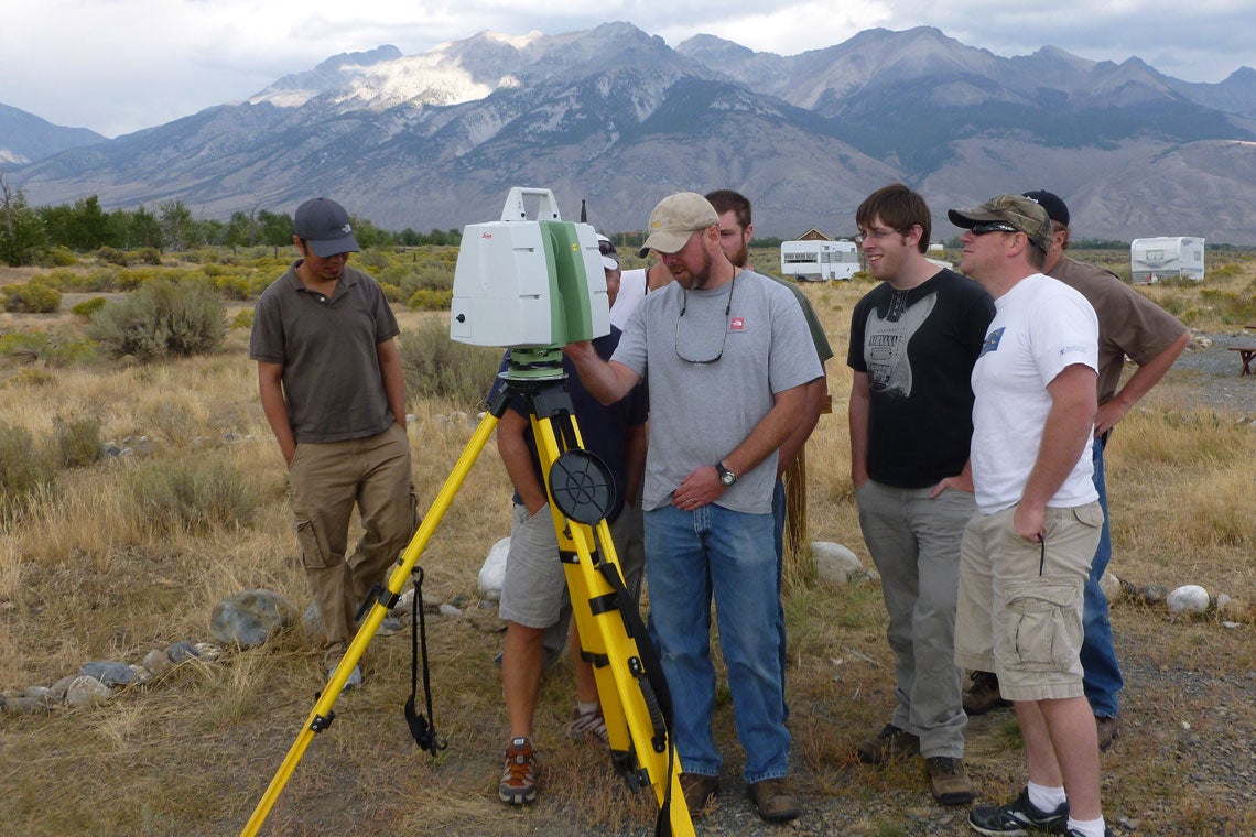
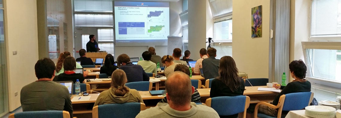
BCAL regularly organizes workshops on remote sensing and using remote sensing methods/tools for earth and environmental science applications. Please contact us for our next planned workshop.
NEON Workshops
NSF NEON Workshop: Mapping Species, Composition (foliar chemistry) and Soil Properties with Spectroscopy
NSF NEON Workshop: Topographic, Geomorphic, and Vegetation Analysis with Lidar
NSF NEON Workshop: Full Waveform Analysis