
Jeff Johnson’s geosciences graduate students using drones for research
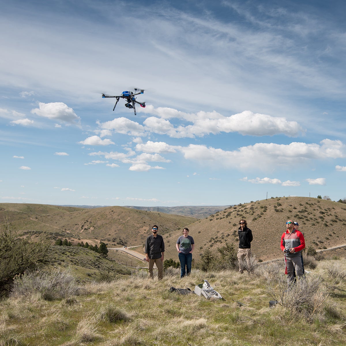
Department of Geosciences graduate students and faculty at Boise State University routinely use Unmanned Aerial Vehicles (UAVs) for their diverse research goals, including volcano science, snow science and geologic remote sensing. They also use UAVs to make accurate topographic maps using camera imagery obtained from onboard cameras during remote-controlled flights. This important application, called Structure-from-Motion, was taught for the first time in spring semester 2018 using UAVs piloted by students.
Jeff Johnson’s geosciences graduate students using drones for research
The geosciences class “UAV and SfM practicum” was a special course offering to a group of 10 graduate students who learned photogrammetric techniques, software processing and UAV piloting skills to acquire appropriate imagery for three-dimensional digital surface reconstructions.
“Incorporation of new technologies is vital for next-generation geoscientists,” said course instructor and associate professor of geosciences Jeffrey Johnson. “It is our department’s intention to begin delivering this curriculum regularly to both graduate students and undergraduate majors.”
During their field work, they surveyed the Boise foothills and produced geo-registered topographic elevation models and orthomosaics, including the one viewable here: https://sketchfab.com/models/4d9d80d42145432995dfa47a0e5f6843.
Their models correspond to square-kilometer-sized regions with better than 10 cm resolution. More than 200 photographs were used in the photogrammetric reconstruction.
BY: CIENNA MADRID PUBLISHED 12:02 PM / APRIL 30, 2018