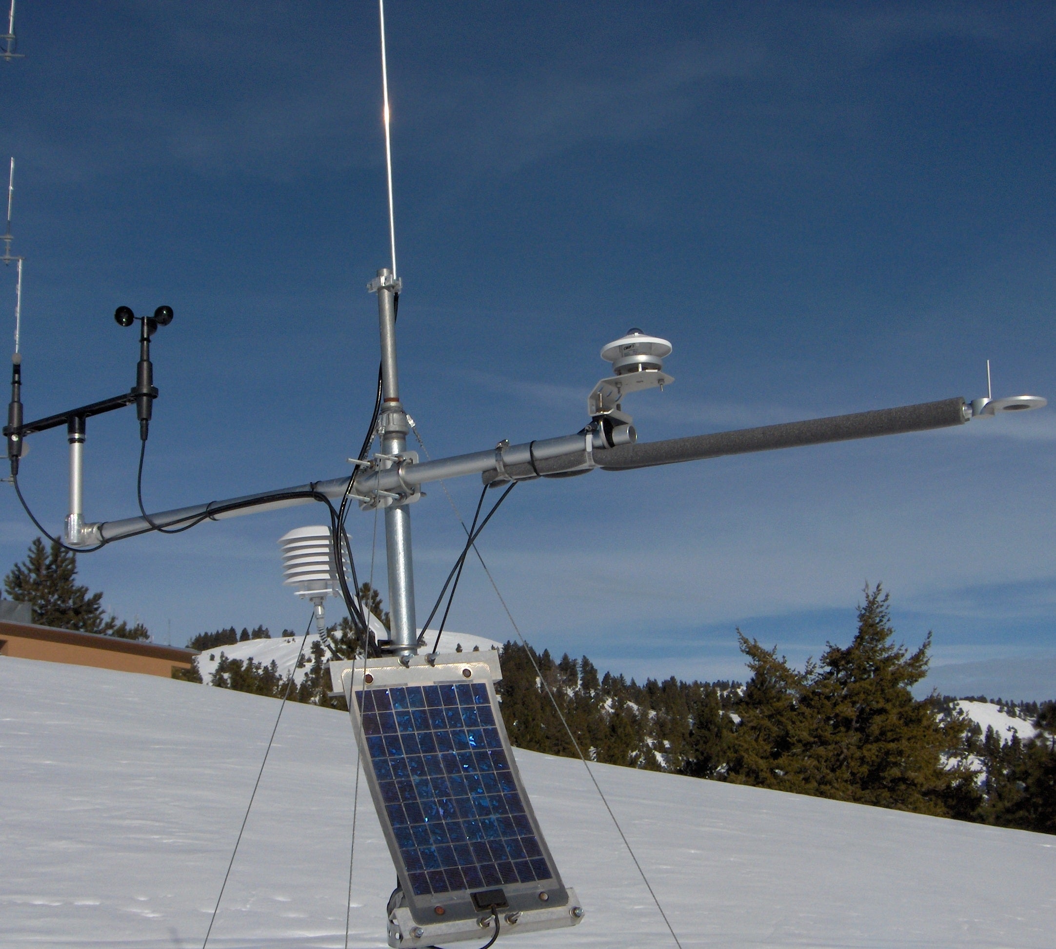
Station Status: Operational, Telemetry Intermittent
Note: Telemetry may fail during fire season/other.
Recent raw data is telemetered hourly.
Corrected data is available for download in the “Historical Data” tab. General site description is available in the “Site Info” tab.
For questions or assistance with this data, please contact Dr. Chris Walser.
Data Graphs and Site Info
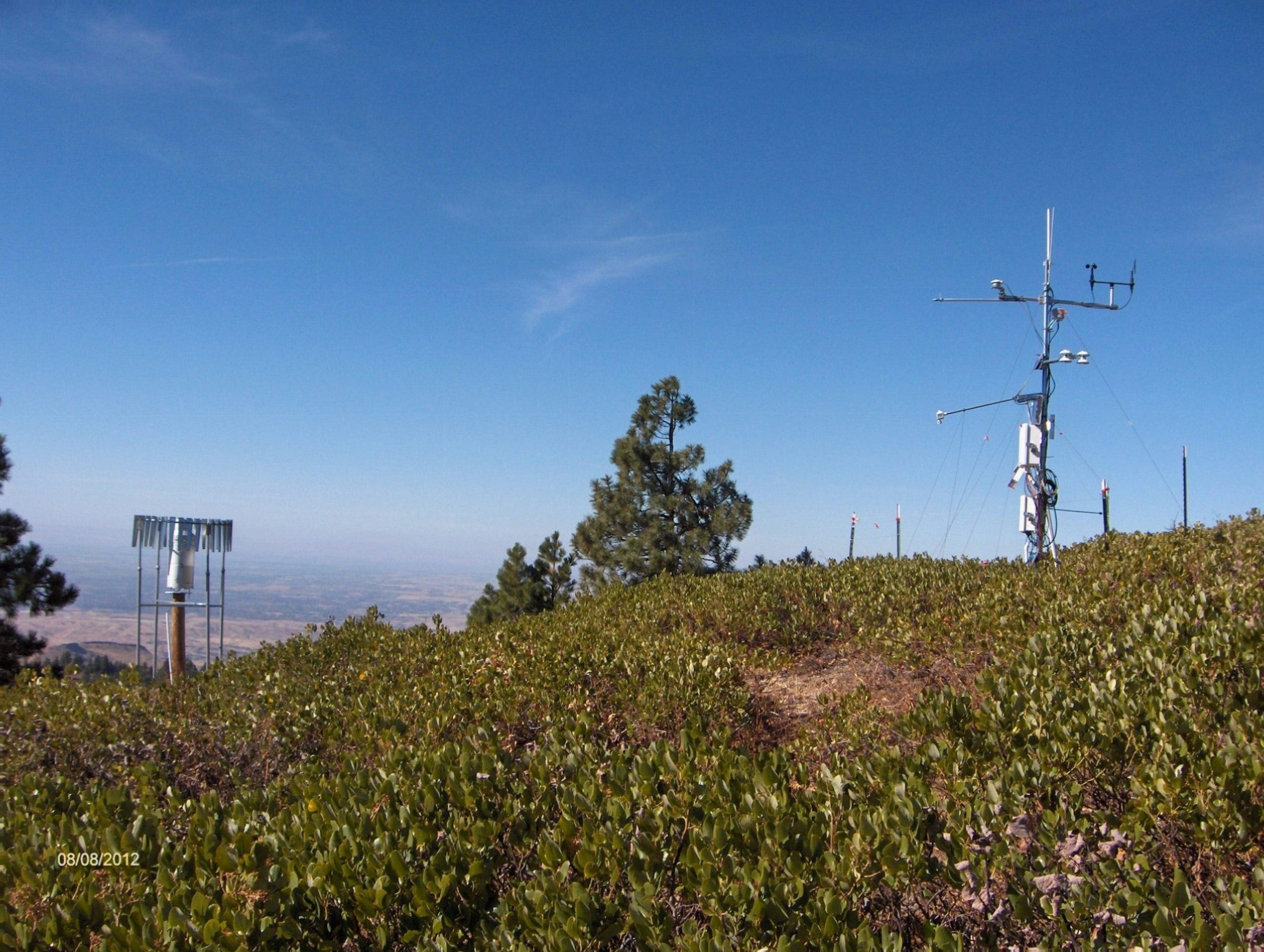
DCEW Site: Lower Deer Point (LDP)
Location (Lat/Long): 43.737078, -116.1221131
Elevation: 1850 m
Reporting Since: 2007
Site Notes: Lower Deer Point (LDP) is located on the northern ridge line of Dry Creek Experimental Watershed and in the Con1West headwater catchment (wherein stream flow is seasonal). At 1850 m elevation, LDP is located above the rain-snow transition zone for winter precipitation on the Boise Front. Water years 2008-2011 averaged 762 mm precipitation; snowpack is generally one meter deep or less (December-April).
Soil at the site is sandy loam, 0-1 m depth above fractured crystalline bedrock. Vegetation includes minor low profile grass and forbs, broad thickets of ceanothus , sparse Ponderosa pine and Douglas fir on the ridge top, in contrast with thicker forest vegetation, including tall stands of deciduous shrubs, Douglas fir and Ponderosa pine, on the east facing slope.
The weather station was constructed, programmed and installed spring 2007 with data collection initiated June 13, 2007. The first full water year data set was for the 2008 water year. Instrumentation measures the following variables: air temperature, relative humidity, barometric pressure (prior to August 2018), snow depth, precipitation (shielded alter gage), wind speed and wind direction, soil temperature, soil moisture and soil heat flux. Additional sensors installed include a second shielded rain gage (Fall 2011) on the adjacent east-facing hillslope and a four component shortwave/ longwave radiometer (summer 2012).


