This hike information is provided by Mike Merz, facilitator of the Osher Institute Special Interest Group (SIG), “Hiking in the Foothills.”
Before hiking, please remember to check trail conditions on the Ridge to Rivers website.
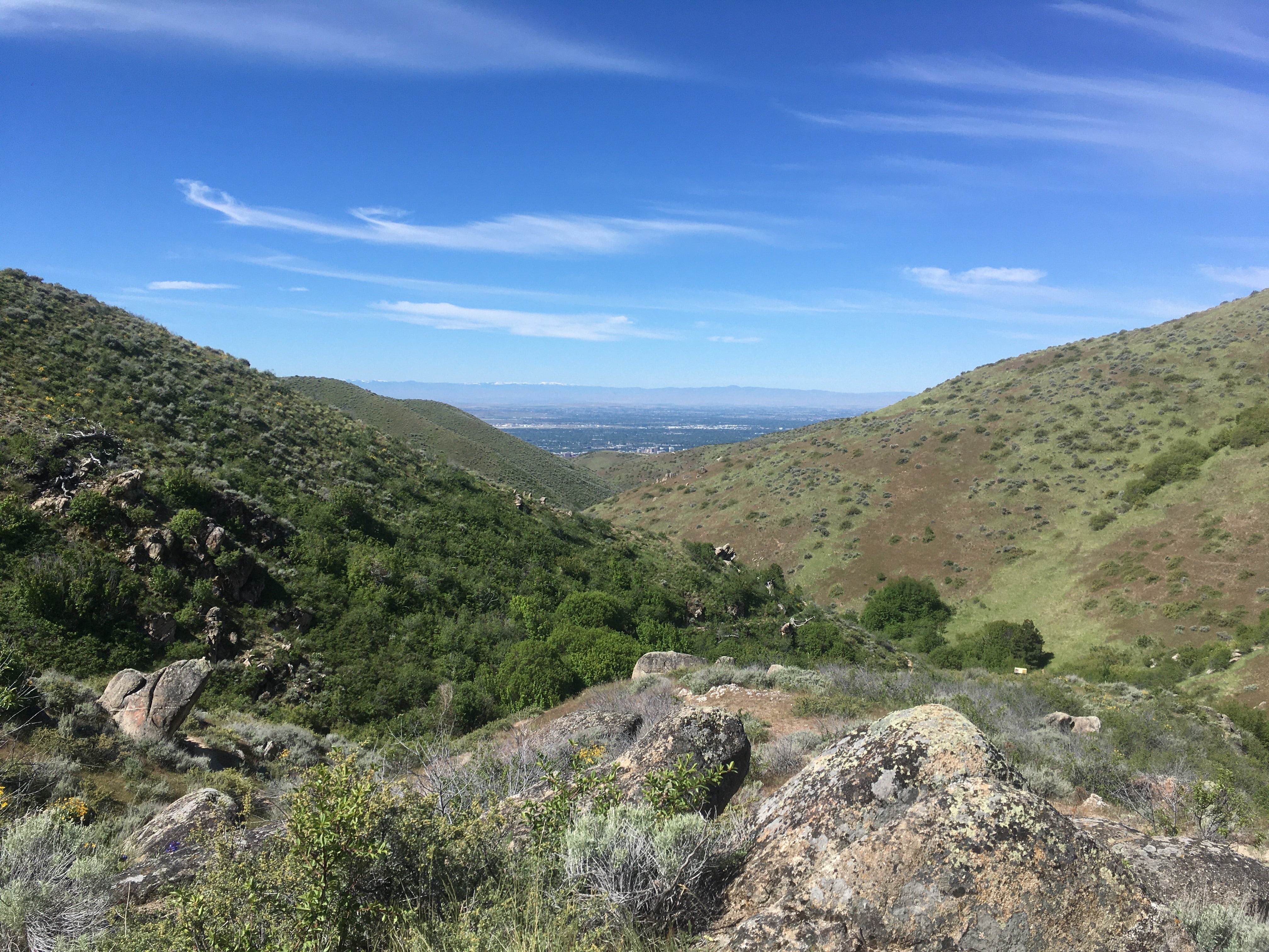
Hike on the Hulls Gulch Interpretive Trail
Directions to the Trailhead:
The trailhead is on the N. 8th St. extension about 3 miles past the Foothills Learning Center. Drive up N. 8th St, past the Foothills Learning Center, and keep going about another 3 miles further on the unpaved road to a parking area on the right.
The parking area also serves as a starting point for the R2R #4 8th Street Motorcycle Trail. Park in the same unpaved parking area, but head East for the Hulls Gulch Interpretive Trail.
View this trailhead on Google Maps.
Trails:
This is an out-and-back hike totaling about 4 miles on the Hulls Gulch Interpretive Trail, #0 on the R2R map. This trail features signs that provide an excellent natural history of the Treasure Valley and the Boise Foothills.
Bathroom:
An outhouse is available in the trailhead parking lot.
Dogs:
Well-behaved dogs are OK; the trail is “Dogs off leash-under control.” Dogs must be on-leash in the parking area.